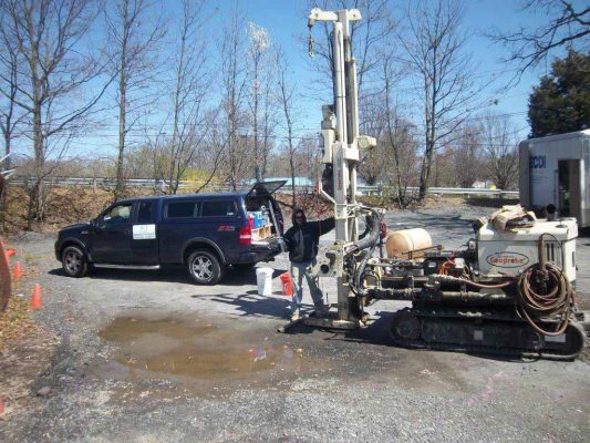
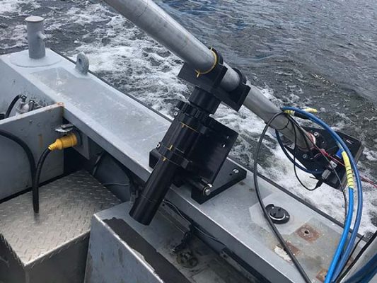
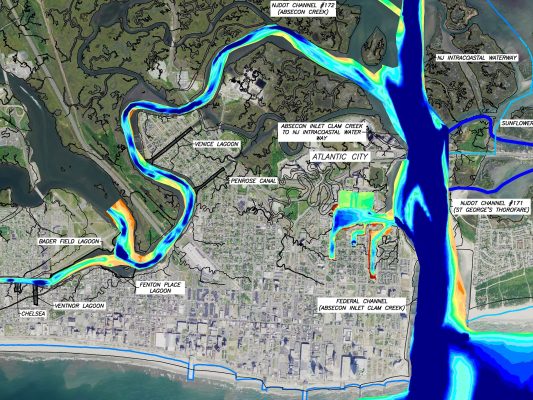
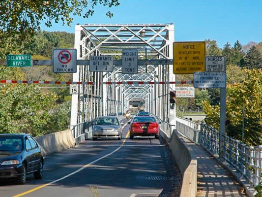
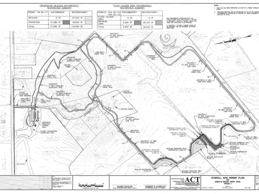
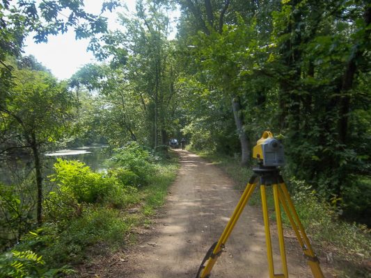
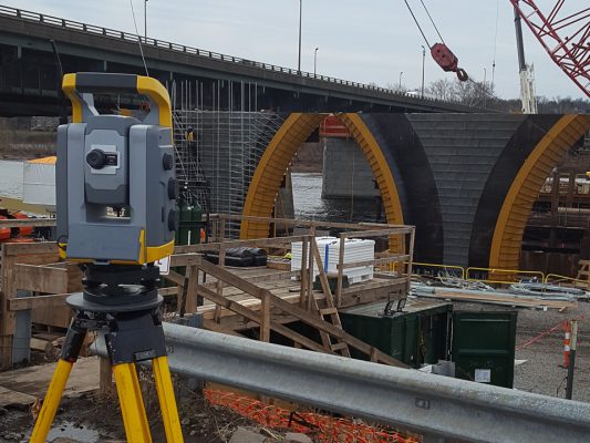
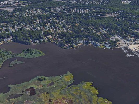
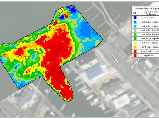
Our team of survey professionals develop accurate base maps for both internal and external client teams. These maps incorporate terrestrial, bathymetric, 3-dimensional scanning and other measurement techniques to create plans which can be used for a variety of purposes. One of the department’s core strengths is working with clients to define the level of detail is needed for the end-use of the mapping product, which minimizes cost while maximizing value to our clients. ACT also offers mapping solutions that make use of Geographic Information Systems (GIS) which harness the capabilities of traditional survey data collection and remote sensing techniques. This combination allows for a better understanding of spatial relationships, safer and more efficient field work and mapping deliverables, and enhanced data management capabilities. Whether it is a Boundary Survey, Bathymetric Survey, Environmental Monitoring measurements, Construction Layout calculations, Flood Modeling, Volumetric Survey, ALTA Land Title Surveys, Remote Sensing, or other measurement task, our survey team has done it.